Location · Gata, City of Bihać, Una-Sana Canton
In a basin that is itself a climatic spa.
Gata lies in the flat part of the Bihać basin, at 260 to 280 metres above sea level, on the Bihać–Cazin regional road that links it to the Sarajevo–Bihać–Izačić main road.
Distances
| Destination | By road |
|---|---|
| Bihać city centre | 18 km |
| Izačić border crossing, Croatia | 20 km |
| Cazin | ≈ 12 km |
| Una National Park | ≈ 30 km |
| Plitvice Lakes National Park | ≈ 50 km |
| Banja Luka | ≈ 150 km |
| Zagreb airport | ≈ 160 km |
| Sarajevo | ≈ 300 km |
Distances marked ≈ are road estimates and will be verified before publishing.
Terrain and climate
The Bihać basin is known as a climatic spa. Plješevica closes it from the south, the Grmeč massif from the east. Gata sits on gently rolling ground; the highest point nearby is Veliki Bisovac at 498 metres.
Nearby Plješevica (1,657 m) allows climatotherapy in three altitude belts: lowland up to 300 m, mid-mountain from 300 to 1,000 m and high mountain from 800 to 1,800 m. Hiking and cycling trails are planned on that principle, as the final stage of therapy.
A market with nowhere to go.
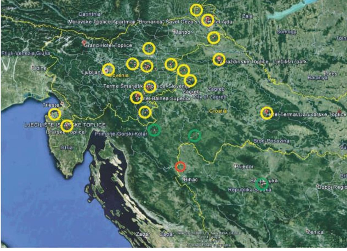
Una-Sana Canton would keep the centre working all year. Across the border are three Croatian counties with no comparable spa and tourism centre. The nearest spas, Topusko and Glina, have not been developed or modernised to market needs.
Add the annual flow of tourists towards the Una and Plitvice to the resident population and the centre needs serious accommodation: that is why the master plan counts on about a thousand beds.
| Area | Population |
|---|---|
| Una-Sana Canton (BiH) | 289.000 |
| Sisak-Moslavina County (HR) | 172.439 |
| Karlovac County (HR) | 128.900 |
| Lika-Senj County (HR) | 50.927 |
| Catchment area | ≈ 640.000 |
Eight parcels, three zones.
The land consists of eight cadastral parcels in the Donja Gata cadastral municipality, wholly held by a single owner. The draft planning document sorts them into three zones that match the centre's three functions.
Health, tourism and recreation
k.č. 324/1, 324/2, 367, 368, 369 · 48.498 m²
The core of the centre: pool complex, hotel, care home, sports courts and supporting facilities.
Energy zone, thermal and geothermal potential
k.č. 319/1, 319/2 · 4.560 m²
The spring and borehole zone: thermal water abstraction for pools and therapy, and district heating for the complex.
Organic agriculture tied to tourism
k.č. 332/1 · 30.254 m²
The eco-village and farm that supplies the centre's restaurants and involves the local community.
Parcels and areas
| Parcel | Name | Land use | m² |
|---|---|---|---|
| 324/1 | Jošik | forest | 4.618 |
| 324/2 | Jošik | forest | 7.800 |
| 367 | Šljivik | arable | 585 |
| 368 | House and yard | arable | 380 |
| 369 | Podkućnica | arable | 35.115 |
| 319/1 | Luka | meadow | 4.000 |
| 319/2 | Kućište | meadow | 560 |
| 332/1 | Brijeg i Berek | meadow | 30.254 |
| Total | 83.312 |
Areas per the cadastral records of Donja Gata (old survey), checked 26 Oct 2026. All parcels are registered to one holder with a 1/1 share. Zoning per the draft planning document; adoption status being verified.